
Thank you for supporting this site ❤️
Make a donation
Make a donation
Gear up for your next adventure:
As an Amazon Associate, this site earns from qualifying purchases at no extra cost to you.
Mansar topographic map
Click on the map to display elevation.
Thank you for supporting this site ❤️
Make a donation
Make a donation
Gear up for your next adventure:
As an Amazon Associate, this site earns from qualifying purchases at no extra cost to you.
About this map
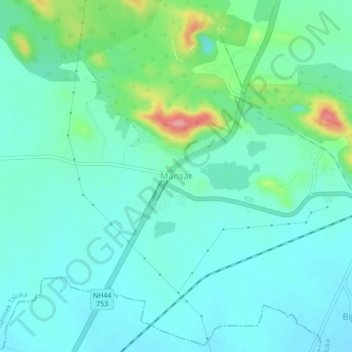
Name: Mansar topographic map, elevation, terrain.
Location: Mansar, Ramtek Taluka, Nagpur, Maharashtra, 441406, India (21.37671 79.24271 21.41671 79.28271)
Average elevation: 1,086 ft
Minimum elevation: 1,007 ft
Maximum elevation: 1,375 ft
Thank you for supporting this site ❤️
Make a donation
Make a donation
Gear up for your next adventure:
As an Amazon Associate, this site earns from qualifying purchases at no extra cost to you.