Geolocate

Makoko topographic map

Click on the map to display elevation.

About this map

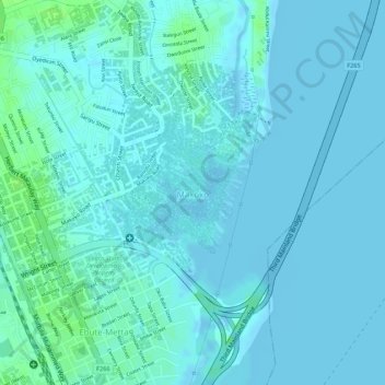
Name: Makoko topographic map, elevation, terrain.

Location: Makoko, Lagos Mainland, Lagos State, Nigeria (6.49024 3.38558 6.50178 3.39690)

Average elevation: 10 ft

Minimum elevation: -10 ft

Maximum elevation: 36 ft

Gear up for your next adventure:

💧Water Purification System - Clean water on the trail with reliable purifiers
🔭Compact Binoculars - HD vision for scouting terrain and identifying distant landmarks
🪶Camp Gear Gift Set - Perfect gift bundle for outdoor fans
🎒Outdoor Daypacks - Lightweight backpacks designed for carrying maps and essential gear
🖼️Topo Map Wall Art - Decorative topographic prints of famous peaks and regions

As an Amazon Associate, this site earns from qualifying purchases at no extra cost to you.