Geolocate

Agami topographic map

Click on the map to display elevation.

About this map

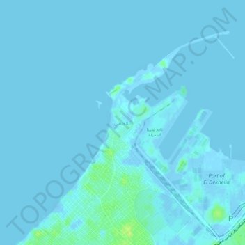
Name: Agami topographic map, elevation, terrain.

Location: Agami, Alexandria, 00203, Egypt (31.12056 29.76528 31.16056 29.80528)

Average elevation: 3 ft

Minimum elevation: -59 ft

Maximum elevation: 52 ft

Gear up for your next adventure:

👟Men's Trail Runners - Lightweight footwear for fast-paced exploration and light hiking
🎁Geography Themed Gifts - Unique gift ideas for map lovers and geography enthusiasts
🔦Compact Flashlight - Reliable flashlight for emergencies
🧤Tactile Hiking Gloves - Keep hands warm while operating GPS and smartphone screens
🔋Rechargeable Batteries - Power up your outdoor devices

As an Amazon Associate, this site earns from qualifying purchases at no extra cost to you.