
Toronto Peak topographic map
Click on the map to display elevation.
About this map
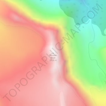
Name: Toronto Peak topographic map, elevation, terrain.
Location: Toronto Peak, Division No. 15, Alberta, Canada (52.16372 -117.56698 52.16382 -117.56688)
Average elevation: 7,949 ft
Minimum elevation: 5,643 ft
Maximum elevation: 9,636 ft
Other topographic maps
Click on a map to view its topography, its elevation and its terrain.
Bow Lake
Canada > Alberta > Division No. 15
Bow Lake is a small lake in western Alberta, Canada. It is located on the Bow River, in the Canadian Rockies, at an altitude of 1920 m.
Average elevation: 7,103 ft