Geolocate

Taleb topographic map

Click on the map to display elevation.

About this map

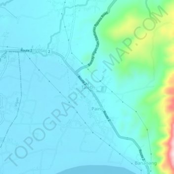
Name: Taleb topographic map, elevation, terrain.

Location: Taleb, Bantay, Ilocos Sur, Ilocos Region, Philippines (17.56308 120.42814 17.60308 120.46814)

Average elevation: 177 ft

Minimum elevation: 16 ft

Maximum elevation: 1,175 ft

Gear up for your next adventure:

🔊Portable Camp Speaker - Music and alerts at camp
📻Weather Alert Radios - Stay informed of storm risks while off-the-grid
📚Navigation Handbooks - Master the art of reading topographic maps and using a compass
🧦Hiking Socks - Comfortable socks to prevent blisters on long hikes
👟Trail Running Shoes - Lightweight shoes for trail runners

As an Amazon Associate, this site earns from qualifying purchases at no extra cost to you.