Geolocate
👉 Easily get elevation data in JSON, GeoTIFF and KML formats using Elevation API
Thank you for supporting this site ❤️
Make a donation

Geo topographic map

Click on the map to display elevation.

About this map

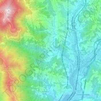
Name: Geo topographic map, elevation, terrain.

Location: Geo, Livellato, Ceranesi, Genoa, Liguria, 16163, Italy (44.45456 8.86613 44.49456 8.90613)

Average elevation: 804 ft

Minimum elevation: 95 ft

Maximum elevation: 2,638 ft

Gear up for your next adventure:

🔭Compact Binoculars - HD vision for scouting terrain and identifying distant landmarks
🔥Camping Stove - Portable stove for camping and backcountry cooking
🌡️Handheld Weather Meters - Measure wind, temp, and pressure for safe mountain travel
🚪Portable Camp Chair - Foldable chair for comfort at camp
🔌Solar Panel Charger - Charge gear sustainably outdoors

As an Amazon Associate, this site earns from qualifying purchases at no extra cost to you.