
Sherman topographic map
Click on the map to display elevation.
About this map
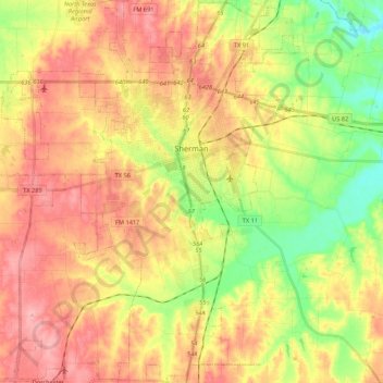
Name: Sherman topographic map, elevation, terrain.
Location: Sherman, Grayson County, Texas, United States (33.53014 -96.71577 33.70917 -96.54843)
Average elevation: 748 ft
Minimum elevation: 561 ft
Maximum elevation: 906 ft
Grayson County trails, hiking, mountain biking, running and outdoor activities
Other topographic maps
Click on a map to view its topography, its elevation and its terrain.