Geolocate

Rockledge topographic map

Click on the map to display elevation.

About this map

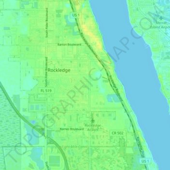
Name: Rockledge topographic map, elevation, terrain.

Location: Rockledge, Brevard County, Florida, 32955, United States (28.27804 -80.77996 28.34946 -80.70068)

Average elevation: 20 ft

Minimum elevation: -7 ft

Maximum elevation: 56 ft

Florida trails, hiking, mountain biking, running and outdoor activities

Gear up for your next adventure:

☀️Outdoor Sunscreen - High protection sunscreen for outdoor activities
🧭Hiking Compass - Precision compass for reliable navigation in the wilderness
🧦Hiking Socks - Comfortable socks to prevent blisters on long hikes
🍳Camping Cook Set - Complete cookware for outdoor meals
🧤Hiking Gloves - Protective gloves for rugged trails

As an Amazon Associate, this site earns from qualifying purchases at no extra cost to you.