Geolocate

Alt Garge topographic map

Click on the map to display elevation.

About this map

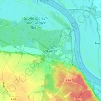
Name: Alt Garge topographic map, elevation, terrain.

Location: Alt Garge, Bleckede, Lüneburg, Lower Saxony, Germany (53.24893 10.77418 53.28893 10.81418)

Average elevation: 79 ft

Minimum elevation: 16 ft

Maximum elevation: 220 ft

Gear up for your next adventure:

🔥Fast-Boil Camping Stoves - Efficient cooking systems for quick trail meals
🛡️Bear Spray Outdoor - Protection in bear country hikes
🔋Solar Power Banks - Keep your GPS and phone charged in remote wilderness areas
📷Action Camera - Capture your outdoor adventures in HD
🧭Hiking Compass - Precision compass for reliable navigation in the wilderness

As an Amazon Associate, this site earns from qualifying purchases at no extra cost to you.