Geolocate

Jaipur topographic map

Click on the map to display elevation.

About this map

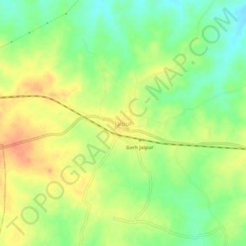
Name: Jaipur topographic map, elevation, terrain.

Location: Jaipur, Purulia, West Bengal, 723201, India (23.39710 86.12439 23.43710 86.16439)

Average elevation: 909 ft

Minimum elevation: 833 ft

Maximum elevation: 981 ft

Gear up for your next adventure:

🔦Compact Flashlight - Reliable flashlight for emergencies
📱Heavy-Duty Phone Cases - Drop-proof and waterproof protection for outdoor navigation
🧤Tactile Hiking Gloves - Keep hands warm while operating GPS and smartphone screens
📷Action Cameras - Rugged cameras to document your journeys across rugged terrain
🗺️NatGeo Topo Maps - High-quality waterproof printed topographic maps of US Parks

As an Amazon Associate, this site earns from qualifying purchases at no extra cost to you.