Geolocate

Mason City topographic map

Click on the map to display elevation.

About this map

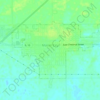
Name: Mason City topographic map, elevation, terrain.

Location: Mason City, Mason County, Illinois, United States (40.19323 -89.71175 40.20870 -89.67866)

Average elevation: 574 ft

Minimum elevation: 554 ft

Maximum elevation: 597 ft

Mason County trails, hiking, mountain biking, running and outdoor activities

Gear up for your next adventure:

🥾Men's Hiking Boots - Durable, waterproof footwear for rugged terrain and steep inclines
🍳Camping Cook Set - Complete cookware for outdoor meals
🗺️Topographic Maps - Detailed topo maps for hiking, exploring and outdoor navigation
🧼Biodegradable Camping Soap - Eco‑friendly soap for outdoor hygiene
🔭Compact Binoculars - HD vision for scouting terrain and identifying distant landmarks

As an Amazon Associate, this site earns from qualifying purchases at no extra cost to you.