Geolocate

Symerton topographic map

Click on the map to display elevation.

About this map

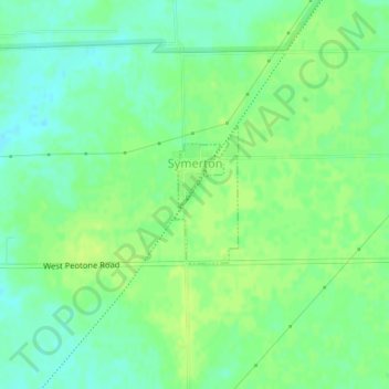
Name: Symerton topographic map, elevation, terrain.

Location: Symerton, Will County, Illinois, United States (41.32114 -88.05632 41.33072 -88.05038)

Average elevation: 633 ft

Minimum elevation: 607 ft

Maximum elevation: 653 ft

Will County trails, hiking, mountain biking, running and outdoor activities

Other topographic maps

Click on a map to view its topography, its elevation and its terrain.

Custer Park

United States > Illinois > Will County

Average elevation: 577 ft

Andres

United States > Illinois > Will County > Andres

Average elevation: 719 ft

Gear up for your next adventure:

🦶Hiking Gaiters - Keep debris and water out of your boots
🏥Hiking First Aid Kits - Comprehensive medical kits for remote trail injuries
🧭Compass with Lanyard - Easy‑carry compass for navigation
📖Nature Tracking Books - Learn to track wildlife and terrain
📌Outdoor GPS Map App - Apps and devices for digital topographic navigation

As an Amazon Associate, this site earns from qualifying purchases at no extra cost to you.