Geolocate

Palmer topographic map

Click on the map to display elevation.

About this map

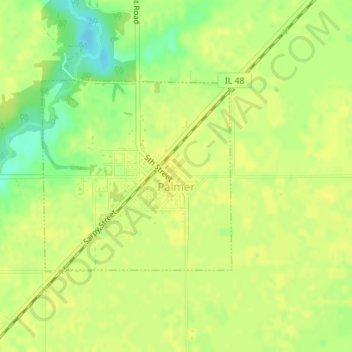
Name: Palmer topographic map, elevation, terrain.

Location: Palmer, Christian County, Illinois, United States (39.45132 -89.41736 39.46604 -89.39845)

Average elevation: 617 ft

Minimum elevation: 571 ft

Maximum elevation: 630 ft

Christian County trails, hiking, mountain biking, running and outdoor activities

Gear up for your next adventure:

🔭Telescopic Hiking Pole - Adjustable pole for hiking stability
🔦Powerful Headlamps - Ultra-bright hands-free lighting for night navigation
🪶Wildlife Field Guides - Learn animal tracking and species ID
🪶Camp Gear Gift Set - Perfect gift bundle for outdoor fans
🔌Solar Panel Charger - Charge gear sustainably outdoors

As an Amazon Associate, this site earns from qualifying purchases at no extra cost to you.