
Mount Moroto topographic map
Interactive map
Click on the map to display elevation.
About this map
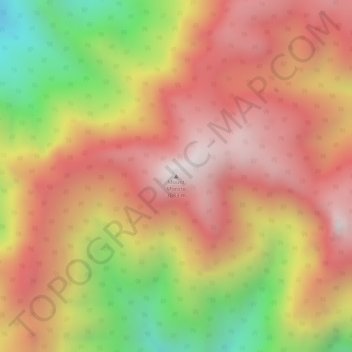
Name: Mount Moroto topographic map, elevation, terrain.
Location: Mount Moroto, Moroto, Northern Region, Uganda (2.52495 34.77245 2.52505 34.77255)
Average elevation: 8,848 ft
Minimum elevation: 7,001 ft
Maximum elevation: 9,980 ft
Other topographic maps
Click on a map to view its topography, its elevation and its terrain.
South Karamoja Hunting Area
South Karamoja Hunting Area, Moroto, Northern Region, Uganda
Average elevation: 4,544 ft