Geolocate
👉 Easily get elevation data in JSON, GeoTIFF and KML formats using Elevation API
Thank you for supporting this site ❤️
Make a donation

Gear up for your next adventure:

As an Amazon Associate, this site earns from qualifying purchases at no extra cost to you.

Cornudas topographic map

Click on the map to display elevation.

About this map

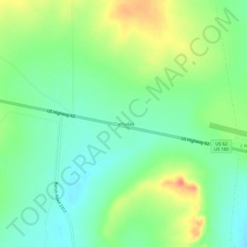
Name: Cornudas topographic map, elevation, terrain.

Location: Cornudas, Hudspeth County, Texas, United States (31.75983 -105.49107 31.79983 -105.45107)

Average elevation: 4,334 ft

Minimum elevation: 4,265 ft

Maximum elevation: 4,446 ft

Hudspeth County trails, hiking, mountain biking, running and outdoor activities

Other topographic maps

Click on a map to view its topography, its elevation and its terrain.

Dustups Ranch

United States > Texas > Hudspeth County

Average elevation: 3,891 ft

Dell City

United States > Texas > Hudspeth County

Average elevation: 3,704 ft

Gear up for your next adventure:

🩳Quick‑Dry Hiking Shorts - Comfortable and quick‑dry shorts for summer hiking
📷Action Camera - Capture your outdoor adventures in HD
🧣Merino Neck Gaiters - Multi-functional headwear for wind and sun protection
🎒Trail Energy Bars - High‑calorie bars for hiking energy
🪶Trail Camera - Capture wildlife on your hikes

As an Amazon Associate, this site earns from qualifying purchases at no extra cost to you.