Geolocate

Kelsall topographic map

Click on the map to display elevation.

About this map

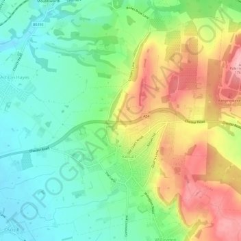
Name: Kelsall topographic map, elevation, terrain.

Location: Kelsall, Cheshire West and Chester, England, United Kingdom (53.19655 -2.75232 53.23044 -2.69301)

Average elevation: 279 ft

Minimum elevation: 85 ft

Maximum elevation: 581 ft

Gear up for your next adventure:

🛡️Insect Repellent - Protection against bugs during outdoor activities
🛠️Outdoor Gear Repair Kit - Essential tools to fix gear on the trail
🎁Geography Themed Gifts - Unique gift ideas for map lovers and geography enthusiasts
🪶Survival Guide Book - Expert advice for emergency preparedness
🥄Camping Utensil Set - Lightweight utensils for outdoor meals

As an Amazon Associate, this site earns from qualifying purchases at no extra cost to you.