
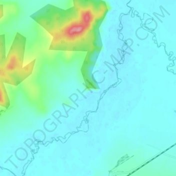
Осиновка topographic map
Interactive map
Click on the map to display elevation.
About this map
Name: Осиновка topographic map, elevation, terrain.
Average elevation: 305 ft
Minimum elevation: 246 ft
Maximum elevation: 610 ft
Other topographic maps
Click on a map to view its topography, its elevation and its terrain.
Lyalichi
Russia > Primorsky Krai > Кремовское сельское поселение
Lyalichi, Кремовское сельское поселение, Mikhaylovsky District, Primorsky Krai, Far Eastern Federal District, 692658, Russia
Average elevation: 394 ft