
Make a donation
Gear up for your next adventure:
As an Amazon Associate, this site earns from qualifying purchases at no extra cost to you.
Ashby Run topographic map
Click on the map to display elevation.
Make a donation
Gear up for your next adventure:
As an Amazon Associate, this site earns from qualifying purchases at no extra cost to you.
About this map
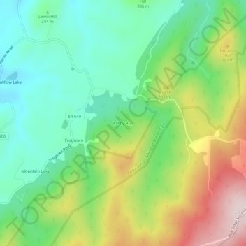
Name: Ashby Run topographic map, elevation, terrain.
Location: Ashby Run, Clarke County, Virginia, United States (39.04900 -77.94333 39.08900 -77.90333)
Average elevation: 938 ft
Minimum elevation: 459 ft
Maximum elevation: 1,775 ft
Make a donation
Gear up for your next adventure:
As an Amazon Associate, this site earns from qualifying purchases at no extra cost to you.
Other topographic maps
Click on a map to view its topography, its elevation and its terrain.
Shenandoah River
United States > Virginia > Clarke County
The Shenandoah Valley is underlaid by limestone. The fertile soil made it a favored place for early settlement. It remains a major agricultural area of Virginia and West Virginia. Some karst topography is evident, and the limestone is honeycombed with caves. Several have been developed as commercial tourist…
Average elevation: 646 ft