Geolocate

Beardsley topographic map

Click on the map to display elevation.

About this map

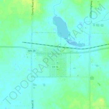
Name: Beardsley topographic map, elevation, terrain.

Location: Beardsley, Big Stone County, Minnesota, United States (45.55248 -96.72060 45.56349 -96.70442)

Average elevation: 1,102 ft

Minimum elevation: 1,086 ft

Maximum elevation: 1,135 ft

Big Stone County trails, hiking, mountain biking, running and outdoor activities

Gear up for your next adventure:

🪶Wildlife Field Guides - Learn animal tracking and species ID
🎒Day Hiking Backpack - Lightweight backpack perfect for day trips and outdoor adventures
🕶️Glacier Sunglasses - Side shields to protect eyes from high-altitude snow glare
😴Insulated Sleeping Pads - Compact and warm pads for high-elevation camping
🛰️Satellite Messengers - Emergency SOS and two-way messaging for off-grid adventures

As an Amazon Associate, this site earns from qualifying purchases at no extra cost to you.