
Thank you for supporting this site ❤️
Make a donation
Make a donation
Gear up for your next adventure:
As an Amazon Associate, this site earns from qualifying purchases at no extra cost to you.
Reynolds topographic map
Click on the map to display elevation.
Thank you for supporting this site ❤️
Make a donation
Make a donation
Gear up for your next adventure:
As an Amazon Associate, this site earns from qualifying purchases at no extra cost to you.
About this map
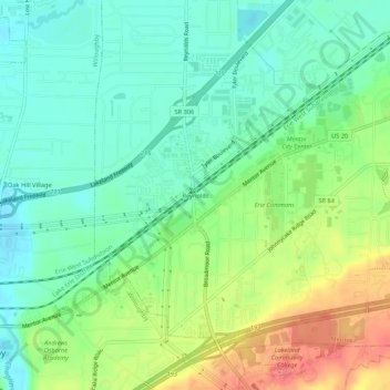
Name: Reynolds topographic map, elevation, terrain.
Location: Reynolds, Mentor, Lake County, Ohio, 44094, United States (41.63588 -81.39705 41.67588 -81.35705)
Average elevation: 673 ft
Minimum elevation: 597 ft
Maximum elevation: 807 ft
Thank you for supporting this site ❤️
Make a donation
Make a donation
Gear up for your next adventure:
As an Amazon Associate, this site earns from qualifying purchases at no extra cost to you.