
Massillon topographic map
Click on the map to display elevation.
About this map
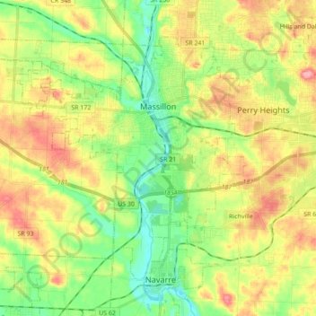
Name: Massillon topographic map, elevation, terrain.
Location: Massillon, Stark County, Ohio, 44647, United States (40.72482 -81.64814 40.82538 -81.47547)
Average elevation: 1,053 ft
Minimum elevation: 906 ft
Maximum elevation: 1,240 ft
Stark County trails, hiking, mountain biking, running and outdoor activities
Other topographic maps
Click on a map to view its topography, its elevation and its terrain.