Geolocate

Kotha topographic map

Click on the map to display elevation.

About this map

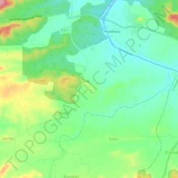
Name: Kotha topographic map, elevation, terrain.

Location: Kotha, Dharni, Amravati, Maharashtra, India (21.50474 77.07180 21.53297 77.12285)

Average elevation: 1,342 ft

Minimum elevation: 1,204 ft

Maximum elevation: 1,614 ft

Gear up for your next adventure:

Solar GPS Watches - Advanced multisport watches with built-in topographic maps
🗃️Trail First Aid Kit - Essential kit for outdoor injuries and emergencies
🚁Photography Drones - Capture stunning aerial views of landforms and topography
🪶Trail Camera - Capture wildlife on your hikes
🌎3D Topographic Globes - Raised relief globes for a tactile understanding of geography

As an Amazon Associate, this site earns from qualifying purchases at no extra cost to you.