
South River topographic map
Interactive map
Click on the map to display elevation.
About this map
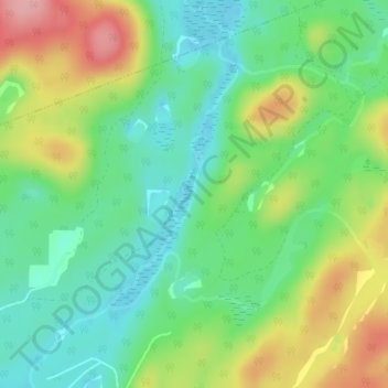
Name: South River topographic map, elevation, terrain.
Location: South River, Joly, Parry Sound District, Ontario, Canada (45.83782 -79.27510 45.84198 -79.27304)
Average elevation: 1,299 ft
Minimum elevation: 1,135 ft
Maximum elevation: 1,575 ft