Geolocate

Triveni topographic map

Click on the map to display elevation.

About this map

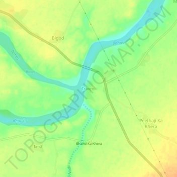
Name: Triveni topographic map, elevation, terrain.

Location: Triveni, Mandalgarh Tehsil, Bhilwara, Rajasthan, India (25.22248 75.01454 25.26248 75.05454)

Average elevation: 1,175 ft

Minimum elevation: 1,115 ft

Maximum elevation: 1,220 ft

Gear up for your next adventure:

📦Dry Bags Set - Waterproof storage for electronics and clothes
🗺️NatGeo Topo Maps - High-quality waterproof printed topographic maps of US Parks
🎒Hydration Pack - Hands‑free water reservoir for long hikes
📱Heavy-Duty Phone Cases - Drop-proof and waterproof protection for outdoor navigation
🛠️Outdoor Gear Repair Kit - Essential tools to fix gear on the trail

As an Amazon Associate, this site earns from qualifying purchases at no extra cost to you.