Geolocate

Montgomery topographic map

Click on the map to display elevation.

Montgomery

Montgomery is located at 32°21′42″N 86°16′45″W / 32.36167°N 86.27917°W / 32.36167; -86.27917. According to the U.S. Census Bureau, the city has a total area of 156.2 square miles (405 km2), of which 155.4 square miles (402 km2) is land and 0.8 square miles (2.1 km2) (0.52%) is water. The city is built over rolling terrain at an elevation of about 220 feet (67 m) above sea level.

About this map

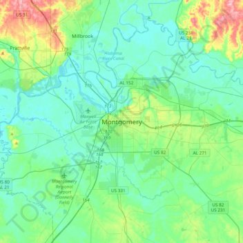
Name: Montgomery topographic map, elevation, terrain.

Location: Montgomery, Montgomery County, Alabama, 36130, United States of America (32.20697 -86.46065 32.52697 -86.14065)

Average elevation: 223 ft

Minimum elevation: 125 ft

Maximum elevation: 600 ft

Gear up for your next adventure:

🥤Water Filter Bottle - All‑in‑one filter bottle for safe hydration
GPS Sports Watch - GPS watch for running, hiking and training
👖Convertible Hiking Pants - Versatile zip-off pants for changing altitudes and temperatures
🔌USB Car Charger - Car charger for on‑the‑go power needs
📡GPS Antenna Upgrade - Enhance GPS reception in remote terrain

As an Amazon Associate, this site earns from qualifying purchases at no extra cost to you.