
Westfield topographic map
Click on the map to display elevation.
About this map
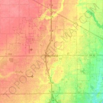
Name: Westfield topographic map, elevation, terrain.
Location: Westfield, Hamilton County, Indiana, 46074, United States (39.99869 -86.24132 40.10158 -86.08954)
Average elevation: 883 ft
Minimum elevation: 764 ft
Maximum elevation: 958 ft
Hamilton County trails, hiking, mountain biking, running and outdoor activities
Other topographic maps
Click on a map to view its topography, its elevation and its terrain.