
Aroma topographic map
Click on the map to display elevation.
About this map
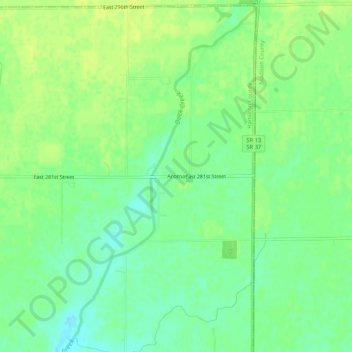
Name: Aroma topographic map, elevation, terrain.
Location: Aroma, Hamilton County, Indiana, United States (40.17948 -85.89415 40.21948 -85.85415)
Average elevation: 840 ft
Minimum elevation: 807 ft
Maximum elevation: 863 ft
Other topographic maps
Click on a map to view its topography, its elevation and its terrain.