
Make a donation
Gear up for your next adventure:
As an Amazon Associate, this site earns from qualifying purchases at no extra cost to you.
Eensaamheid Pan topographic map
Click on the map to display elevation.
Make a donation
Gear up for your next adventure:
As an Amazon Associate, this site earns from qualifying purchases at no extra cost to you.
About this map
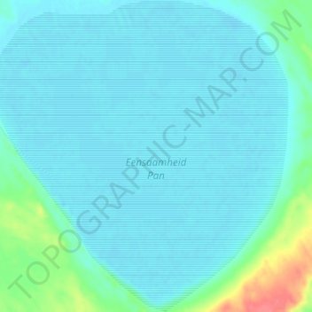
Name: Eensaamheid Pan topographic map, elevation, terrain.
Average elevation: 2,782 ft
Minimum elevation: 2,746 ft
Maximum elevation: 2,969 ft
Make a donation
Gear up for your next adventure:
As an Amazon Associate, this site earns from qualifying purchases at no extra cost to you.
Other topographic maps
Click on a map to view its topography, its elevation and its terrain.
Raaswater
South Africa > Northern Cape > ZF Mgcawu District Municipality > ǁKhara Hais Local Municipality
Average elevation: 2,598 ft
Paballelo
South Africa > Northern Cape > ZF Mgcawu District Municipality > ǁKhara Hais Local Municipality > Paballelo
Average elevation: 2,694 ft