Geolocate

Batangan topographic map

Click on the map to display elevation.

About this map

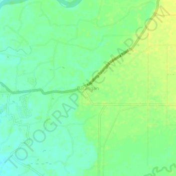
Name: Batangan topographic map, elevation, terrain.

Location: Batangan, Bukidnon, Northern Mindanao, 8709088, Philippines (7.88455 125.09988 7.92455 125.13988)

Average elevation: 991 ft

Minimum elevation: 958 ft

Maximum elevation: 1,020 ft

Gear up for your next adventure:

👟Trail Running Shoes - Lightweight shoes for trail runners
📷Action Camera - Capture your outdoor adventures in HD
🥩Freeze-Dried Meals - Nutritious and lightweight food for remote expeditions
🌲Outdoor Survival Books - Best books on survival skills
🧭Orienteering Set - Complete compass and map reading kit

As an Amazon Associate, this site earns from qualifying purchases at no extra cost to you.