Geolocate

Gede topographic map

Click on the map to display elevation.

About this map

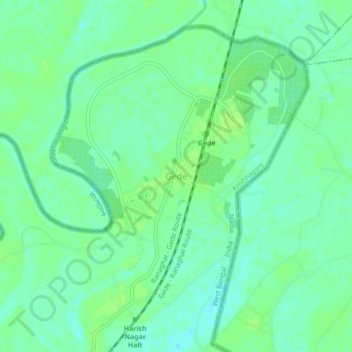
Name: Gede topographic map, elevation, terrain.

Location: Gede, Nadia, West Bengal, India (23.46620 88.76316 23.50620 88.80316)

Average elevation: 36 ft

Minimum elevation: 16 ft

Maximum elevation: 49 ft

Gear up for your next adventure:

👟Men's Trail Runners - Lightweight footwear for fast-paced exploration and light hiking
🔊Portable Camp Speaker - Music and alerts at camp
🔭Telescopic Hiking Pole - Adjustable pole for hiking stability
🔭Compact Binoculars - HD vision for scouting terrain and identifying distant landmarks
🔥Plasma Lighters - Windproof lighters that work in any weather condition

As an Amazon Associate, this site earns from qualifying purchases at no extra cost to you.