
Lake Junaluska topographic map
Click on the map to display elevation.
About this map
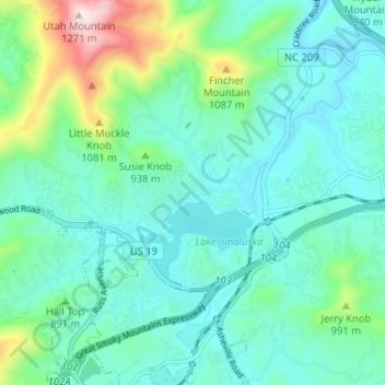
Name: Lake Junaluska topographic map, elevation, terrain.
Average elevation: 2,828 ft
Minimum elevation: 2,484 ft
Maximum elevation: 4,163 ft
Haywood County trails, hiking, mountain biking, running and outdoor activities
Other topographic maps
Click on a map to view its topography, its elevation and its terrain.
Cataloochee Valley Viewpoint
United States > North Carolina > Haywood County > Cataloochee
Average elevation: 3,471 ft
Panther Creek
United States > North Carolina > Haywood County > Panther Creek
Average elevation: 2,864 ft