
Shamattawa topographic map
Interactive map
Click on the map to display elevation.
About this map
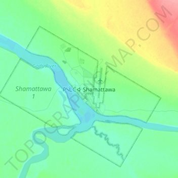
Name: Shamattawa topographic map, elevation, terrain.
Location: Shamattawa, Manitoba, Canada (55.82087 -92.12979 55.90087 -92.04979)
Average elevation: 299 ft
Minimum elevation: 230 ft
Maximum elevation: 482 ft