
Thank you for supporting this site ❤️
Make a donation
Make a donation
Gear up for your next adventure:
As an Amazon Associate, this site earns from qualifying purchases at no extra cost to you.
Bhawanigarh topographic map
Click on the map to display elevation.
Thank you for supporting this site ❤️
Make a donation
Make a donation
Gear up for your next adventure:
As an Amazon Associate, this site earns from qualifying purchases at no extra cost to you.
About this map
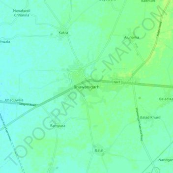
Name: Bhawanigarh topographic map, elevation, terrain.
Location: Bhawanigarh, Sangrur Tahsil, Sangrur, Punjab, 148026, India (30.22236 76.00133 30.30236 76.08133)
Average elevation: 797 ft
Minimum elevation: 784 ft
Maximum elevation: 817 ft
Thank you for supporting this site ❤️
Make a donation
Make a donation
Gear up for your next adventure:
As an Amazon Associate, this site earns from qualifying purchases at no extra cost to you.