Geolocate

Linda topographic map

Click on the map to display elevation.

About this map

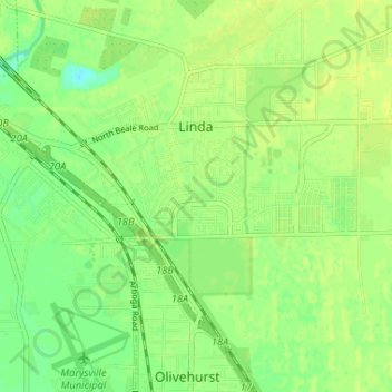
Name: Linda topographic map, elevation, terrain.

Location: Linda, Yuba County, California, United States (39.09442 -121.58860 39.15035 -121.49573)

Average elevation: 69 ft

Minimum elevation: 33 ft

Maximum elevation: 92 ft

Yuba County trails, hiking, mountain biking, running and outdoor activities

Gear up for your next adventure:

👖Convertible Hiking Pants - Versatile zip-off pants for changing altitudes and temperatures
🔊Portable Camp Speaker - Music and alerts at camp
🪶Camp Gear Gift Set - Perfect gift bundle for outdoor fans
🍳Camping Cook Set - Complete cookware for outdoor meals
📚Navigation Handbooks - Master the art of reading topographic maps and using a compass

As an Amazon Associate, this site earns from qualifying purchases at no extra cost to you.