Geolocate

Grover Beach topographic map

Click on the map to display elevation.

About this map

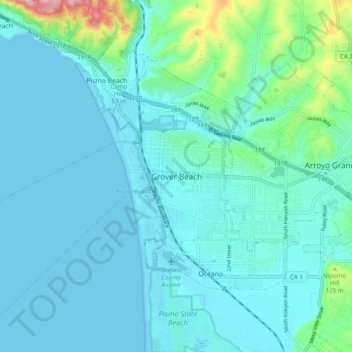
Name: Grover Beach topographic map, elevation, terrain.

Location: Grover Beach, San Luis Obispo County, California, 93433, United States (35.08095 -120.66184 35.16095 -120.58184)

Average elevation: 118 ft

Minimum elevation: -3 ft

Maximum elevation: 886 ft

San Luis Obispo County trails, hiking, mountain biking, running and outdoor activities

Gear up for your next adventure:

🔪Outdoor Multitools - Essential survival tools for gear repair and field use
🌧️Backpack Rain Cover - Keep gear dry in wet weather
📷Action Cameras - Rugged cameras to document your journeys across rugged terrain
🌡️Handheld Weather Meters - Measure wind, temp, and pressure for safe mountain travel
🏔️Mountain Trail Maps - High‑detail maps for popular peaks

As an Amazon Associate, this site earns from qualifying purchases at no extra cost to you.