Geolocate

Silver City topographic map

Click on the map to display elevation.

About this map

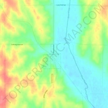
Name: Silver City topographic map, elevation, terrain.

Location: Silver City, Mills County, Iowa, 51571, United States (41.09333 -95.65723 41.13333 -95.61723)

Average elevation: 1,115 ft

Minimum elevation: 1,017 ft

Maximum elevation: 1,257 ft

Mills County trails, hiking, mountain biking, running and outdoor activities

Gear up for your next adventure:

🔦Powerful Headlamps - Ultra-bright hands-free lighting for night navigation
🛰️Satellite Messengers - Emergency SOS and two-way messaging for off-grid adventures
🚁Photography Drones - Capture stunning aerial views of landforms and topography
🪶Fire Starter Kit - Reliable fire starter for survival and camping
🧣Hiking Neck Gaiter - Multi‑use neck protection for outdoor weather

As an Amazon Associate, this site earns from qualifying purchases at no extra cost to you.