Geolocate

Jabal al `Araq topographic map

Click on the map to display elevation.

About this map

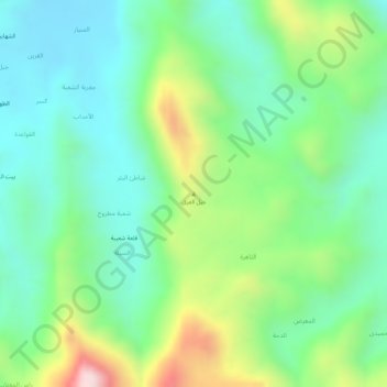
Name: Jabal al `Araq topographic map, elevation, terrain.

Location: Jabal al `Araq, Washhah District, Hajjah Governorate, Yemen (16.39090 43.40631 16.39100 43.40641)

Average elevation: 2,247 ft

Minimum elevation: 1,781 ft

Maximum elevation: 3,186 ft

Other topographic maps

Click on a map to view its topography, its elevation and its terrain.

Mustaba District

Yemen > Hajjah Governorate

Average elevation: 1,145 ft

Al Jamimah District

Yemen > Hajjah Governorate

Average elevation: 4,065 ft

Kushar District

Yemen > Hajjah Governorate

Average elevation: 3,763 ft

Al Mahabishah District

Yemen > Hajjah Governorate

Average elevation: 3,983 ft

Ash Shahil District

Yemen > Hajjah Governorate

Average elevation: 3,307 ft

Bakil Al Mir District

Yemen > Hajjah Governorate

Average elevation: 2,310 ft

Gear up for your next adventure:

🦟Ultrasonic Repellers - Create a bug-free zone at your camp or rest stop
🏕️Tent Footprint - Protect your tent base from wear
🗻Climbing Gear Basics - Essential gear for beginner climbers
🧢Outdoor Hiking Hat - Sun protection hat for outdoor explorers
🩹Survival Bandages - High‑quality bandages for emergencies

As an Amazon Associate, this site earns from qualifying purchases at no extra cost to you.