
Roth Park topographic map
Click on the map to display elevation.
About this map
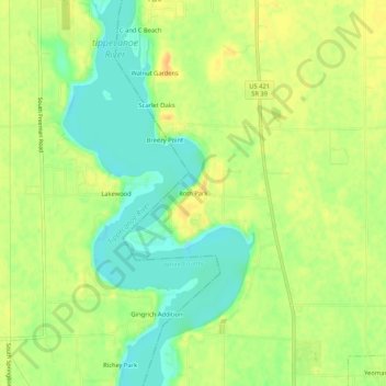
Name: Roth Park topographic map, elevation, terrain.
Location: Roth Park, Carroll County, Indiana, 47997, United States (40.66643 -86.76918 40.70643 -86.72918)
Average elevation: 659 ft
Minimum elevation: 600 ft
Maximum elevation: 709 ft
Carroll County trails, hiking, mountain biking, running and outdoor activities