Geolocate

Ayton topographic map

Click on the map to display elevation.

About this map

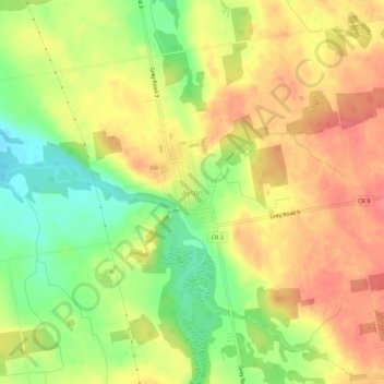
Name: Ayton topographic map, elevation, terrain.

Location: Ayton, West Grey, Grey County, Ontario, N0G 1C0, Canada (44.03367 -80.94564 44.07367 -80.90564)

Average elevation: 1,102 ft

Minimum elevation: 981 ft

Maximum elevation: 1,191 ft

Gear up for your next adventure:

🪶LED Camping Lantern - Bright lantern for camp lighting
Backpacking Tent - Lightweight and durable tent for multi‑day hikes
📷Action Cameras - Rugged cameras to document your journeys across rugged terrain
Solar GPS Watches - Advanced multisport watches with built-in topographic maps
📦Dry Bags Set - Waterproof storage for electronics and clothes

As an Amazon Associate, this site earns from qualifying purchases at no extra cost to you.