Geolocate

Quezon topographic map

Click on the map to display elevation.

About this map

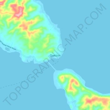
Name: Quezon topographic map, elevation, terrain.

Location: Quezon, Calabarzon, Philippines (13.96670 122.14272 14.04670 122.22272)

Average elevation: 49 ft

Minimum elevation: -3 ft

Maximum elevation: 456 ft

Gear up for your next adventure:

🌡️Portable Weather Meter - Track weather conditions on the trail
🔭Stargazing Telescopes - Perfect for camping in low-light pollution areas shown on maps
Backpacking Tent - Lightweight and durable tent for multi‑day hikes
🦶Carbon Trekking Poles - Reduce knee impact on steep descents with ultra-light poles
📚USA Hiking Guide Books - Top trail guides and map books

As an Amazon Associate, this site earns from qualifying purchases at no extra cost to you.