Geolocate

Ingleside topographic map

Click on the map to display elevation.

About this map

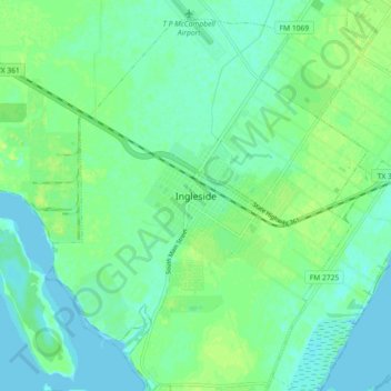
Name: Ingleside topographic map, elevation, terrain.

Location: Ingleside, San Patricio County, Texas, 78362, United States (27.83662 -97.24988 27.91662 -97.16988)

Average elevation: 20 ft

Minimum elevation: -3 ft

Maximum elevation: 46 ft

San Patricio County trails, hiking, mountain biking, running and outdoor activities

Gear up for your next adventure:

🛡️Bear Spray Outdoor - Protection in bear country hikes
🔥Camping Stove - Portable stove for camping and backcountry cooking
🪓Survival Multi‑Tool - Versatile tool for camp and trail tasks
🧭Orienteering Set - Complete compass and map reading kit
🛌Ultralight Sleeping Bags - Compact down bags for cold nights in the wilderness

As an Amazon Associate, this site earns from qualifying purchases at no extra cost to you.