Geolocate

Florida topographic map

Click on the map to display elevation.

About this map

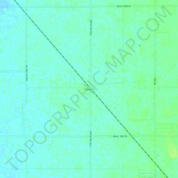
Name: Florida topographic map, elevation, terrain.

Location: Florida, Madison County, Indiana, United States (40.14032 -85.73025 40.18032 -85.69025)

Average elevation: 883 ft

Minimum elevation: 866 ft

Maximum elevation: 906 ft

Madison County trails, hiking, mountain biking, running and outdoor activities

Gear up for your next adventure:

🔌Solar Panel Charger - Charge gear sustainably outdoors
🚑Emergency Bivvies - Heat-reflective sleeping bags for survival situations
🪶Multi‑Purpose Knife - Useful blade for camp and trail
📖Nature Tracking Books - Learn to track wildlife and terrain
🧣Hiking Neck Gaiter - Multi‑use neck protection for outdoor weather

As an Amazon Associate, this site earns from qualifying purchases at no extra cost to you.