Geolocate

Basna topographic map

Click on the map to display elevation.

About this map

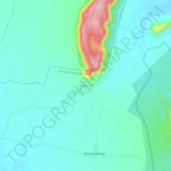
Name: Basna topographic map, elevation, terrain.

Location: Basna, Jamwa Ramgarh Tehsil, Jaipur, Rajasthan, 303120, India (27.08410 75.97299 27.12410 76.01299)

Average elevation: 1,421 ft

Minimum elevation: 1,299 ft

Maximum elevation: 1,939 ft

Gear up for your next adventure:

GPS Sports Watch - GPS watch for running, hiking and training
🚁Photography Drones - Capture stunning aerial views of landforms and topography
🎁Geography Themed Gifts - Unique gift ideas for map lovers and geography enthusiasts
🌡️Handheld Weather Meters - Measure wind, temp, and pressure for safe mountain travel
🪶Camping Sleeping Pad - Comfortable sleeping pad for backpacking

As an Amazon Associate, this site earns from qualifying purchases at no extra cost to you.