
Thank you for supporting this site ❤️
Make a donation
Make a donation
Gear up for your next adventure:
As an Amazon Associate, this site earns from qualifying purchases at no extra cost to you.
Forseilles topographic map
Click on the map to display elevation.
Thank you for supporting this site ❤️
Make a donation
Make a donation
Gear up for your next adventure:
As an Amazon Associate, this site earns from qualifying purchases at no extra cost to you.
About this map
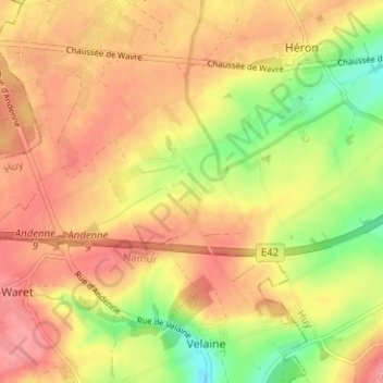
Name: Forseilles topographic map, elevation, terrain.
Location: Forseilles, Héron, Huy, Liège, Wallonie, 4217, Belgique (50.51567 5.05903 50.55567 5.09903)
Average elevation: 610 ft
Minimum elevation: 453 ft
Maximum elevation: 712 ft
Thank you for supporting this site ❤️
Make a donation
Make a donation
Gear up for your next adventure:
As an Amazon Associate, this site earns from qualifying purchases at no extra cost to you.