
Camping topographic map
Interactive map
Click on the map to display elevation.
About this map
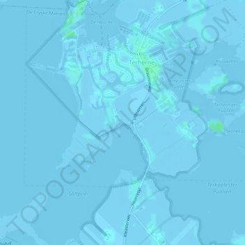
Name: Camping topographic map, elevation, terrain.
Average elevation: -3 ft
Minimum elevation: -13 ft
Maximum elevation: 16 ft
Other topographic maps
Click on a map to view its topography, its elevation and its terrain.
Balk
Nederland > Friesland > De Fryske Marren
Balk, De Fryske Marren, Friesland, Nederland
Average elevation: 0 ft
Sint Nicolaasga
Nederland > Friesland > De Fryske Marren
Sint Nicolaasga, De Fryske Marren, Friesland, Nederland
Average elevation: 3 ft