
Thank you for supporting this site ❤️
Make a donation
Make a donation
Gear up for your next adventure:
As an Amazon Associate, this site earns from qualifying purchases at no extra cost to you.
Tamiahua topographic map
Click on the map to display elevation.
Thank you for supporting this site ❤️
Make a donation
Make a donation
Gear up for your next adventure:
As an Amazon Associate, this site earns from qualifying purchases at no extra cost to you.
About this map
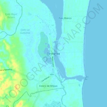
Name: Tamiahua topographic map, elevation, terrain.
Location: Tamiahua, Terrenos de "Tamiahua", Tamiahua, Veracruz, Mexico (21.23806 -97.48556 21.31806 -97.40556)
Average elevation: 13 ft
Minimum elevation: -7 ft
Maximum elevation: 75 ft
Thank you for supporting this site ❤️
Make a donation
Make a donation
Gear up for your next adventure:
As an Amazon Associate, this site earns from qualifying purchases at no extra cost to you.