
Thank you for supporting this site ❤️
Make a donation
Make a donation
Gear up for your next adventure:
As an Amazon Associate, this site earns from qualifying purchases at no extra cost to you.
Jaloxtoc topographic map
Click on the map to display elevation.
Thank you for supporting this site ❤️
Make a donation
Make a donation
Gear up for your next adventure:
As an Amazon Associate, this site earns from qualifying purchases at no extra cost to you.
About this map
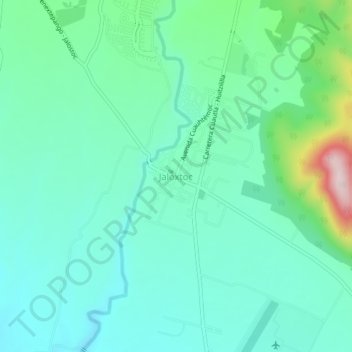
Name: Jaloxtoc topographic map, elevation, terrain.
Location: Jaloxtoc, Ayala, Morelos, 62743, México (18.69883 -98.92141 18.73883 -98.88141)
Average elevation: 4,121 ft
Minimum elevation: 3,871 ft
Maximum elevation: 5,003 ft
Thank you for supporting this site ❤️
Make a donation
Make a donation
Gear up for your next adventure:
As an Amazon Associate, this site earns from qualifying purchases at no extra cost to you.