Geolocate

Telupid topographic map

Click on the map to display elevation.

About this map

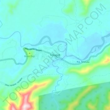
Name: Telupid topographic map, elevation, terrain.

Location: Telupid, Sandakan Division, Sabah, Malaysia (5.58723 117.09078 5.66723 117.17078)

Average elevation: 489 ft

Minimum elevation: 167 ft

Maximum elevation: 2,346 ft

Gear up for your next adventure:

🩹Survival Bandages - High‑quality bandages for emergencies
🪶Fire Starter Kit - Reliable fire starter for survival and camping
🧴Hand Sanitizer - Keep hands clean while hiking
🎒Gear Packing Cubes - Organize your backpack efficiently
🎁Geography Themed Gifts - Unique gift ideas for map lovers and geography enthusiasts

As an Amazon Associate, this site earns from qualifying purchases at no extra cost to you.