Geolocate

Paint Fork topographic map

Click on the map to display elevation.

About this map

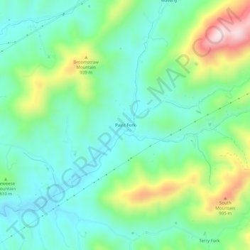
Name: Paint Fork topographic map, elevation, terrain.

Location: Paint Fork, Madison County, North Carolina, United States (35.81956 -82.47846 35.85956 -82.43846)

Average elevation: 2,582 ft

Minimum elevation: 2,182 ft

Maximum elevation: 3,576 ft

Madison County trails, hiking, mountain biking, running and outdoor activities

Gear up for your next adventure:

🪑Ultralight Camp Chairs - Portable seating for resting after a long day of mapping
🩳Quick‑Dry Hiking Shorts - Comfortable and quick‑dry shorts for summer hiking
🧭Hiking Compass - Precision compass for reliable navigation in the wilderness
🌎3D Topographic Globes - Raised relief globes for a tactile understanding of geography
🔌USB Car Charger - Car charger for on‑the‑go power needs

As an Amazon Associate, this site earns from qualifying purchases at no extra cost to you.