Geolocate

Jati Baru topographic map

Click on the map to display elevation.

About this map

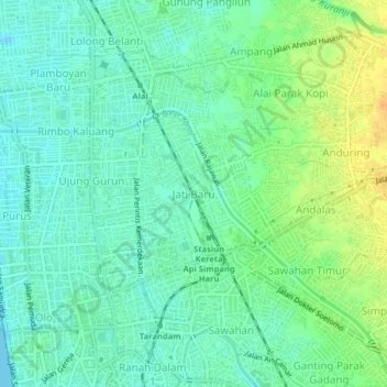
Name: Jati Baru topographic map, elevation, terrain.

Location: Jati Baru, Padang, West Sumatra, Sumatra, 25129, Indonesia (-0.95751 100.35181 -0.91751 100.39181)

Average elevation: 36 ft

Minimum elevation: 0 ft

Maximum elevation: 105 ft

Other topographic maps

Click on a map to view its topography, its elevation and its terrain.

Batang Kuranji

Indonesia > West Sumatra > Padang

Average elevation: 531 ft

Pantai Air Manis

Indonesia > West Sumatra > Padang > Bk Gado Gado

Average elevation: 157 ft

Gear up for your next adventure:

🎒Trekking Poles - Sturdy poles for balance and stability on rough terrain
🔋Rechargeable Batteries - Power up your outdoor devices
📚Navigation Handbooks - Master the art of reading topographic maps and using a compass
🧭Compass with Lanyard - Easy‑carry compass for navigation
🌧️Backpack Rain Cover - Keep gear dry in wet weather

As an Amazon Associate, this site earns from qualifying purchases at no extra cost to you.